Grind Planning/GIS
| Company | Loram UK Ltd |
|---|

Images
Description
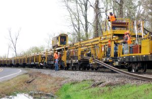
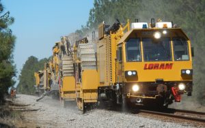
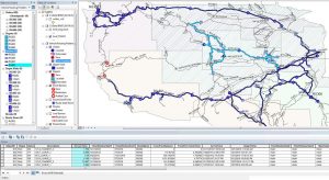
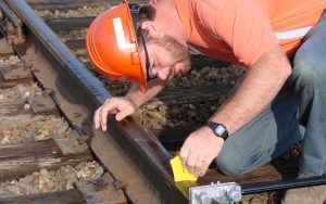
Loram was one of the first to incorporate geographic information system (GIS) software into information system suites designed to more efficiently manage assets, maximize throughput and safety, and minimize disruptions and delays. Today, GIS supports many railway functions including infrastructure management and maintenance planning, rolling stock management, safety and security, design and construction.
Other Products From Loram UK Ltd
Equipment Manufacturing
Loram OEM Services
Today’s maintenance equipment is both highly capable and highly complex. In many cases, improper or ineffective use of the complex equipment provided by Loram can cause situations just as worrisome as those found …
RailPro®
Comprehensive Rail Grinding Management
Loram’s proprietary RailPro® system is an integrated suite of cutting-edge software tools designed specifically for comprehensive rail grinding management. The system relies upon Loram’s extensive intelligence base of specialized rail grinding knowledge, …
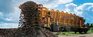
MHC Material Handling Car
Move More. Farther. With Less.
Loram’s MHC Series Material Handling Cars are ideal for any project involving transferring and offloading of new ballast, or excavated roadbed materials such as ballast and spoils. Featuring a powerful, integrated …
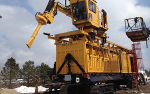
Material Handling - Wagonvac
Loram has expanded its offering and resources with the addition of Georgetown Rail Equipment Company (GREX) to offer industry-leading Material Handling solutions. The combined Material Handling offering includes rail handling and rail car cleaning solutions, …